PROJECTS   ››   Selected Experience in Storm Drainage Projects

Storm Water Master Plan


City of Coos Bay, Oregon

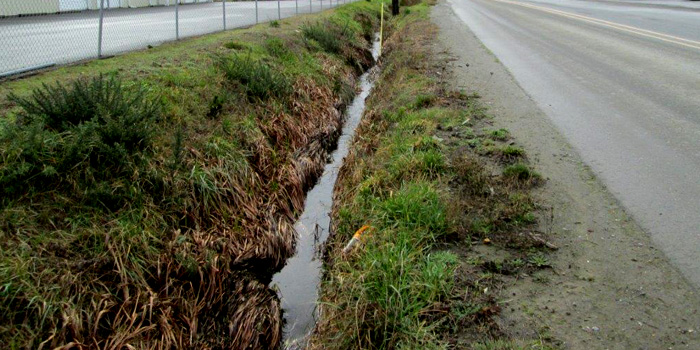
The storm water system inventory and analysis provides data for planning, prioritizing, and designing storm water infrastructure for the City of Coos Bay. The existing system was field surface verified and assessed for condition and capacity. Topographic data was used to create maps delineating areas at risk of tidal flooding. The anticipated impact of EPA Phase II requirements for MS4 and future regulations was presented. Current and projected deficiencies for a 20-year planning period are identified.

Storm Water Master Plan


City of Bandon, Oregon

With an emphasis on planning, this document covers all aspects of the Bandon storm water system, from existing infrastructure and deficiencies through the planning and funding process for recommended projects. The $2.0 million in recommended projects for future construction are prioritized, with costs divided between developers and the City responsibility and a recommended SDC cost for future construction.
Storm Drain Improvements


Coos Bay, Oregon

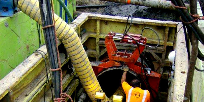
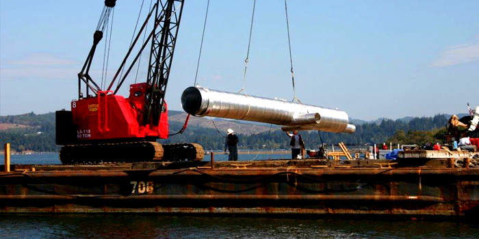
This storm drain project involved over 400 lineal feet of 36-inch storm drain in a highly congested traffic area involving Highway 101, Koos Bay Boulevard and the Central Oregon & Pacific Railroad (now called the Coos Bay Rail Link). Significant permitting was required from both Oregon Division of State Lands / Corp of Engineers and Central Oregon & Pacific Railroad. The project involved work within tidal waters for installation of a new 36-inch tide gate. The railroad crossing required trenchless technologies for installation of a 42-inch casing that held the 36-inch storm drain pipe.

Site Improvements


City of Coquille, Oregon

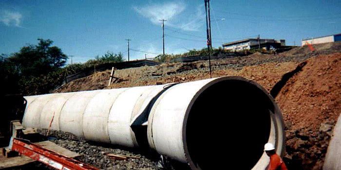
Construction of a new access road from Highway 42 onto the old Georgia-Pacific mill site (in preparation for future development) included placement of a 96-inch RCP culvert which utilized a partial bury of the culvert for a natural streambed consistent with current fish passage design. Permits were secured from the Division of State Lands and the Corps of Engineers to allow placement in a wetlands area; mitigation plans were also developed to replace the impacted wetlands in the overall site improvement project. Temporary bypass pumping was required for the 96-inch culvert placement.